Analysing political distance by voting behaviour alone. 
2023-01-10
During the last years I’ve been refining the approach that I’ve started: using exclusively published (and official) data on how political parties vote, determine the relative distance between them and create some helpful descriptive analytics:
Proximidades e distâncias: análise da actividade parlamentar (in Portuguese).
I’ve used Jupyter Book to improve the readability and make it easier to use, without removing access to details (including code).
now I have the following features:
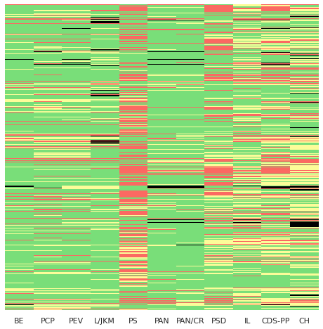
- Parsing of votes and creation of voting heatmaps.

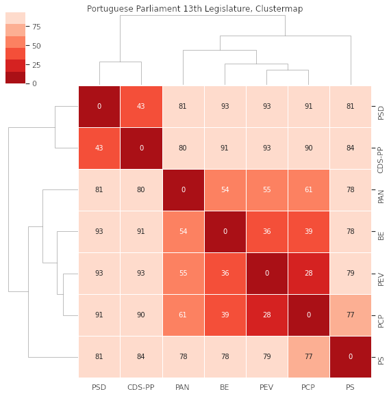
- Determination of the pairwise distance between all parties.
- Using a clustermap to determine the relative distances between parties,
and how they are grouped.

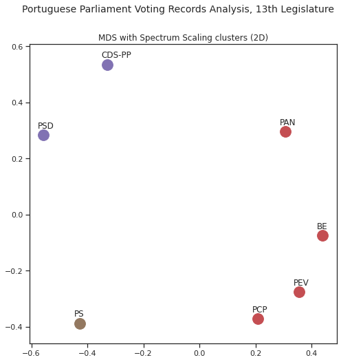
- Appliying DBSCAN and Spectral Clustering to further determine clustering.
- Use Multi-dimensional Scaling to reduce dimensions to 2 and 3D, for
interactive visualisation.

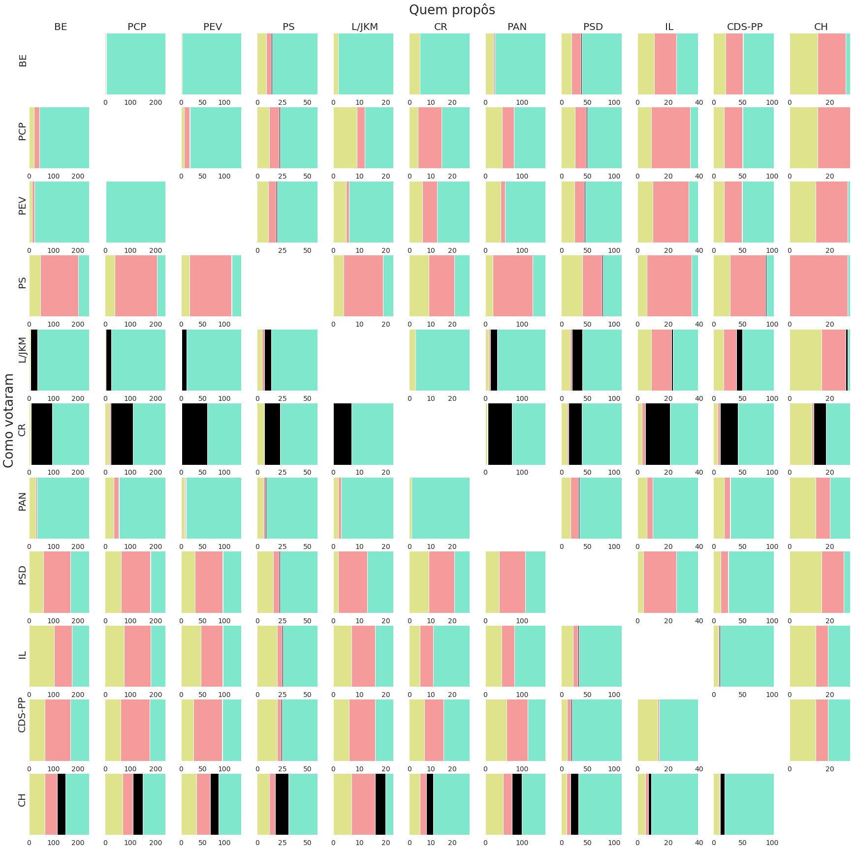
- Determine who supported who in terms of proposals, and how many were
approved or rejected.

- Track distances through time, both by general agreements in terms of
votes and by explicit support for proposals put forward by each party.

There are more things to come, I have received some good feedback on the analysis and also suggestions that are very doable using the dataset, exciting times.